


Sables d’Olonne Centre-la Chaume

MAUVAGE Patrick
User
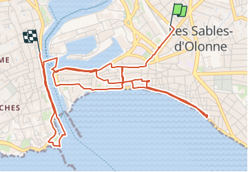

Length
7.6 km

Max alt
15 m

Uphill gradient
61 m
Km-Effort
8.4 km

Min alt
-4 m

Downhill gradient
61 m
Boucle
No
Creation date :
2023-08-22 07:54:38.0
Updated on :
2023-08-25 20:57:13.314
1h54
Difficulty : Medium

FREE GPS app for hiking
 SityTrail
IGN / Geographical institutes
SityTrail Plus
The world is yours!
About
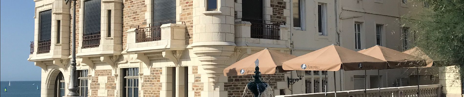
Trail Walking of 7.6 km to be discovered at Pays de la Loire, Vendée, Les Sables-d'Olonne. This trail is proposed by MAUVAGE Patrick.
Photos

Positioning
Country:
France
Region :
Pays de la Loire
Department/Province :
Vendée
Municipality :
Les Sables-d'Olonne
Location:
Les Sables-d'Olonne
Start:(Dec)
Start:(UTM)
593571 ; 5150338 (30T) N.
Comments